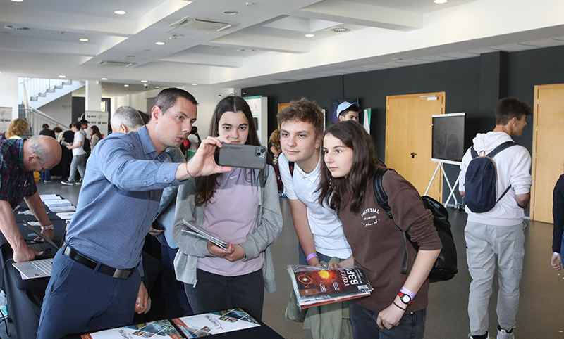
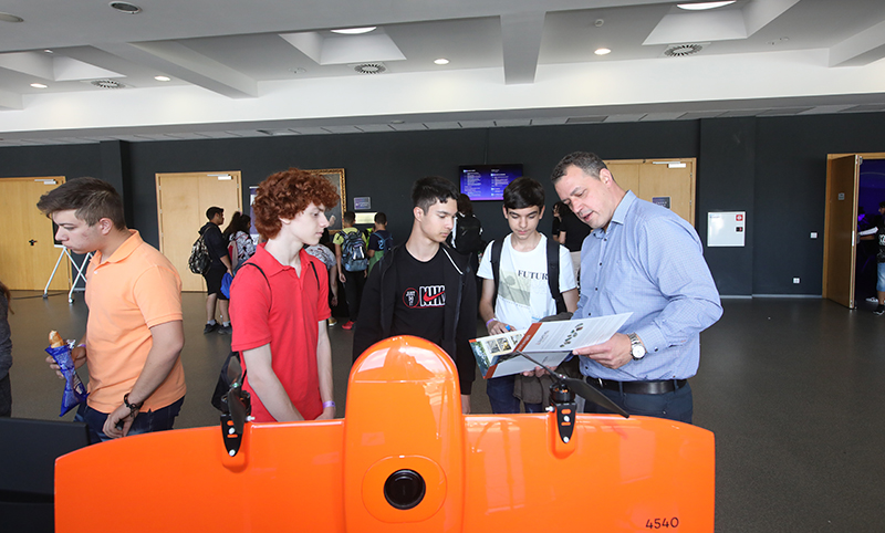
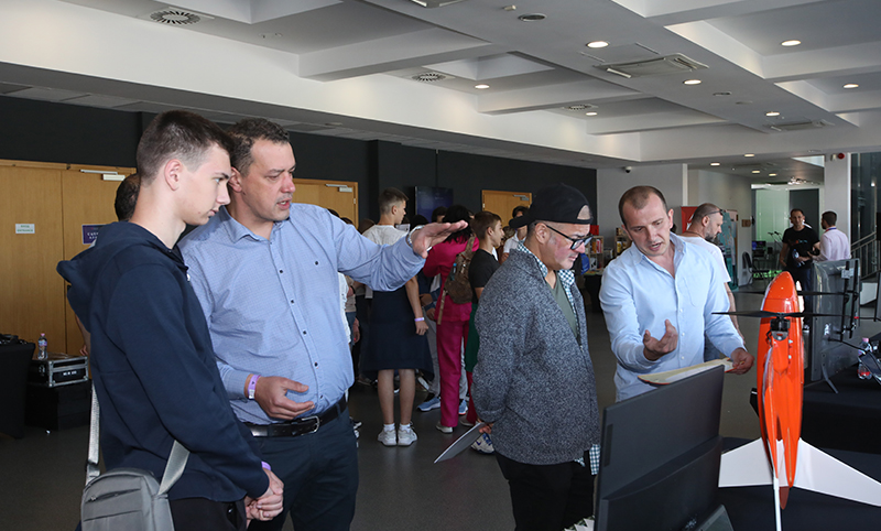
‘By 2-hour flight of the new drone, for example, a 260-hectare site can be surveyed, which covers more than 480 football pitches. This is much faster than using total stations, GPS receivers or older generation drones,’ said M.Eng. Marin Nedyalkov. He added that the collected data is processed by several software suites, thus obtaining a very accurate and precise 3D model of the surveyed areas.


